WorldIslands

Home › Countries › Oceania

Marshall Islands

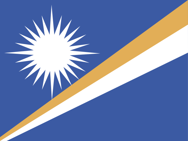
Marshall Islands is an island country in Oceania with its capital in Majuro and about 36,300 people. The Marshall Islands are known for stick charts, maps of ocean swells that navigators used to find their way between atolls.

Majuro

Marshall Islands in purple, with Majuro marked. Outline from the same detailed coastlines the games use.

Capital
Majuro
Continent
Oceania
Population (2025)
36,300
Land area
181 km² (70 sq mi)
Island country
Yes, all on islands

The story of Marshall Islands

Where the name comes from

The Marshall Islands are named after British captain John Marshall, who sailed through them in 1788; Marshall became Majeļ in Marshallese.

First people

Micronesian navigators settled these atolls about 2,000 years ago.1

Known for

The Marshall Islands are known for stick charts, maps of ocean swells that navigators used to find their way between atolls.2

Outside contact

German protection began in 1885 and Japanese rule in 1914; the US took the islands in 1944 and carried out 67 nuclear tests between 1946 and 1958, after moving people off the test atolls.3

The modern country

The islands became independent in 1986, and nuclear justice remains a central issue.1
Nearby countries

Quiz yourself on Oceania

Can you place Marshall Islands and its neighbours on a blank map?

More countries in Oceania

Sources

  1. Wikipedia · Marshall Islands (history)
  2. Wikipedia · Marshall Islands stick chart
  3. US Department of the Interior · Marshall Islands nuclear legacy